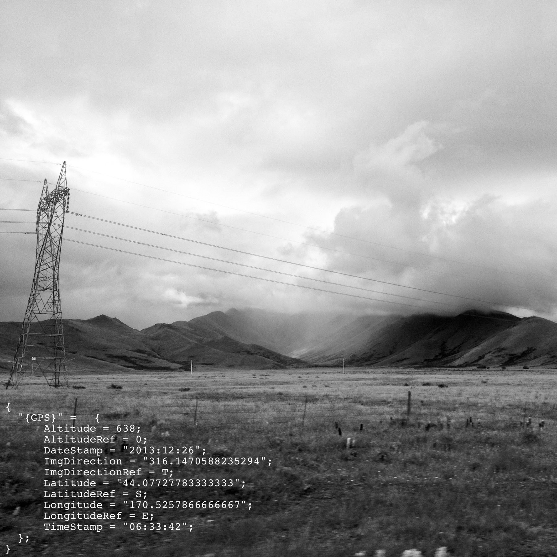
Up the Rakaia Valley — probably the Ragged Range.
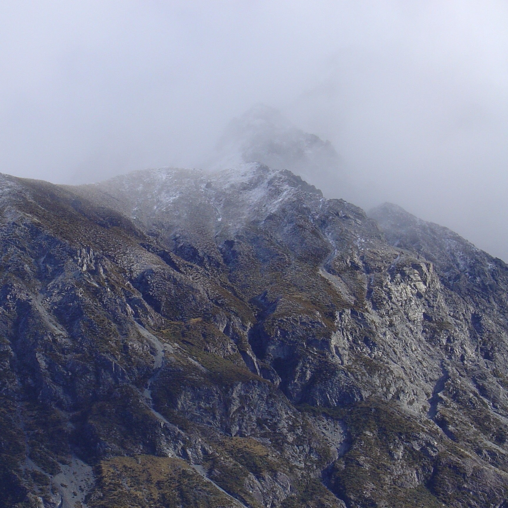
Up the Rakaia Valley — probably the Ragged Range.
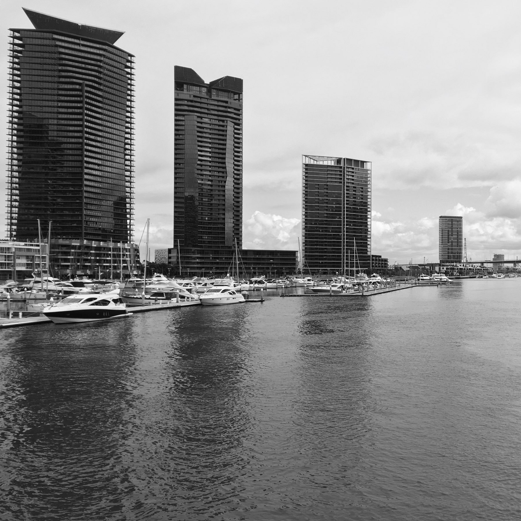
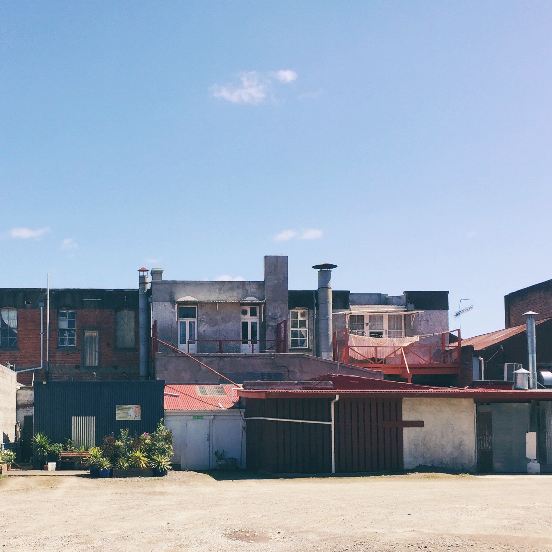
Docklands
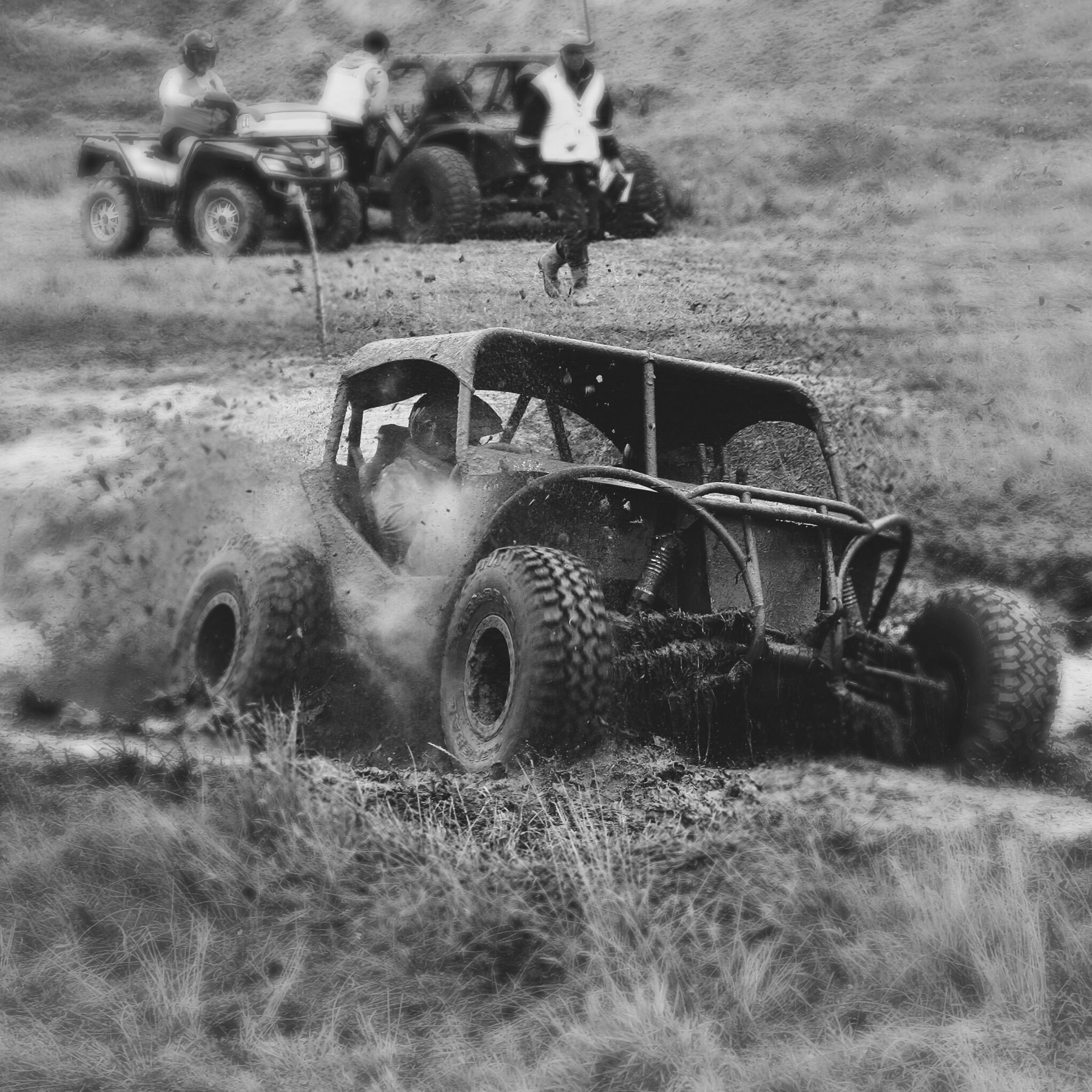
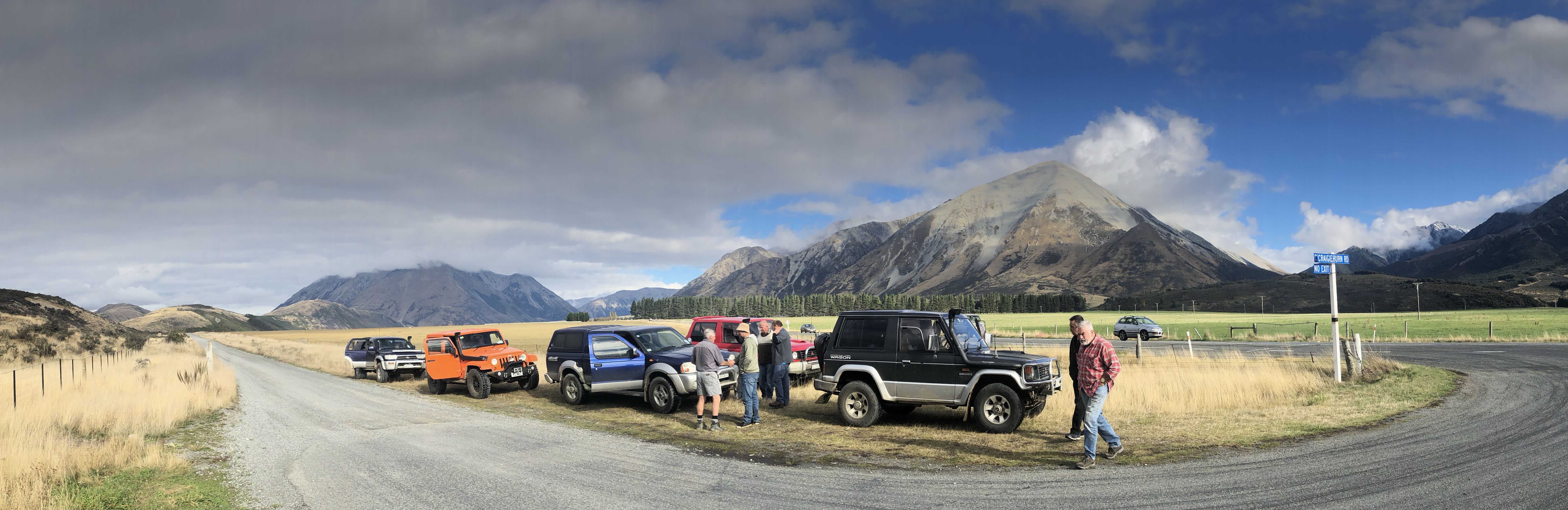
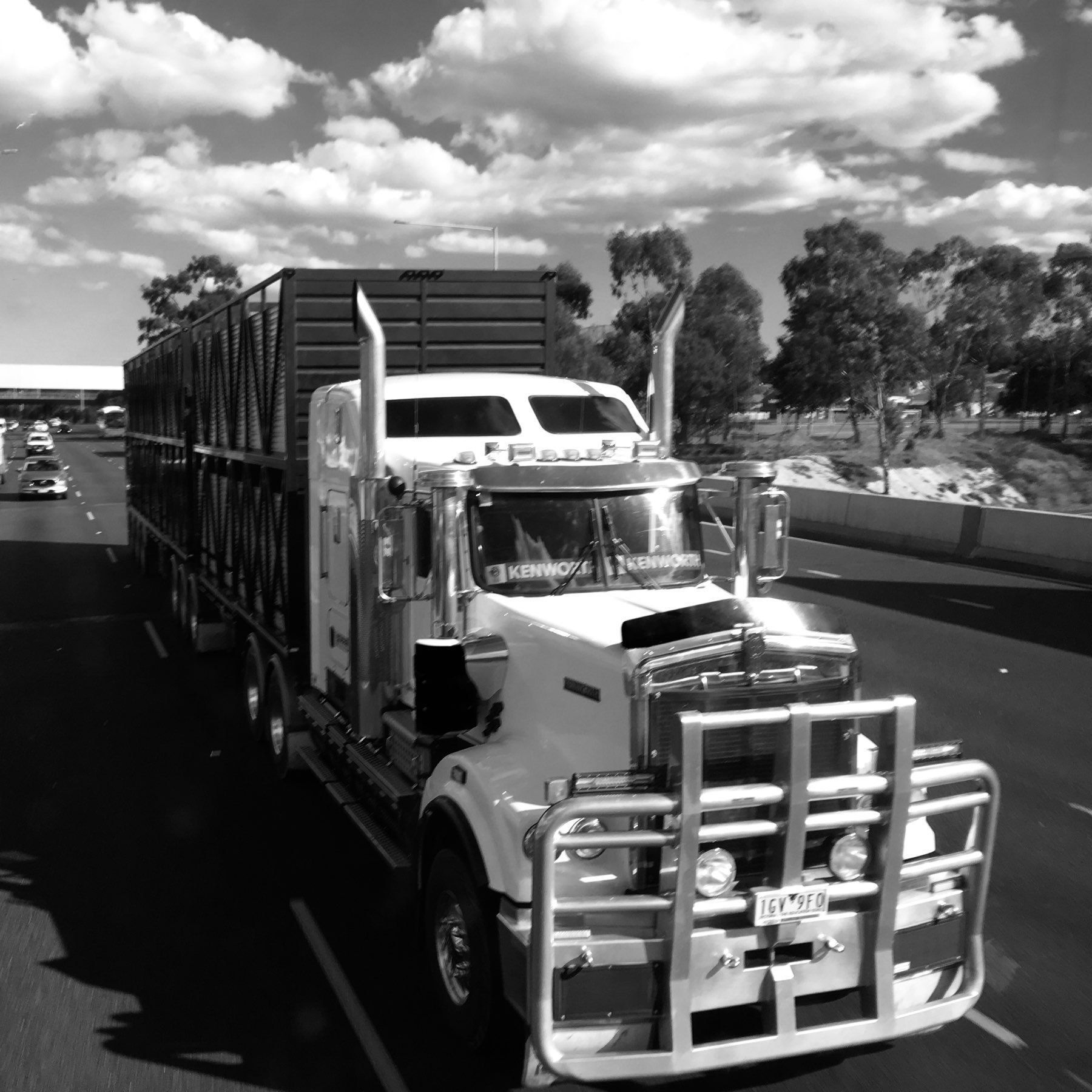
Off-road competition
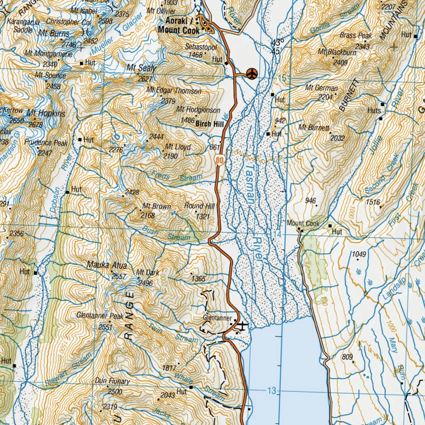
The Aoraki / Mount Cook information centre
A new view of the city
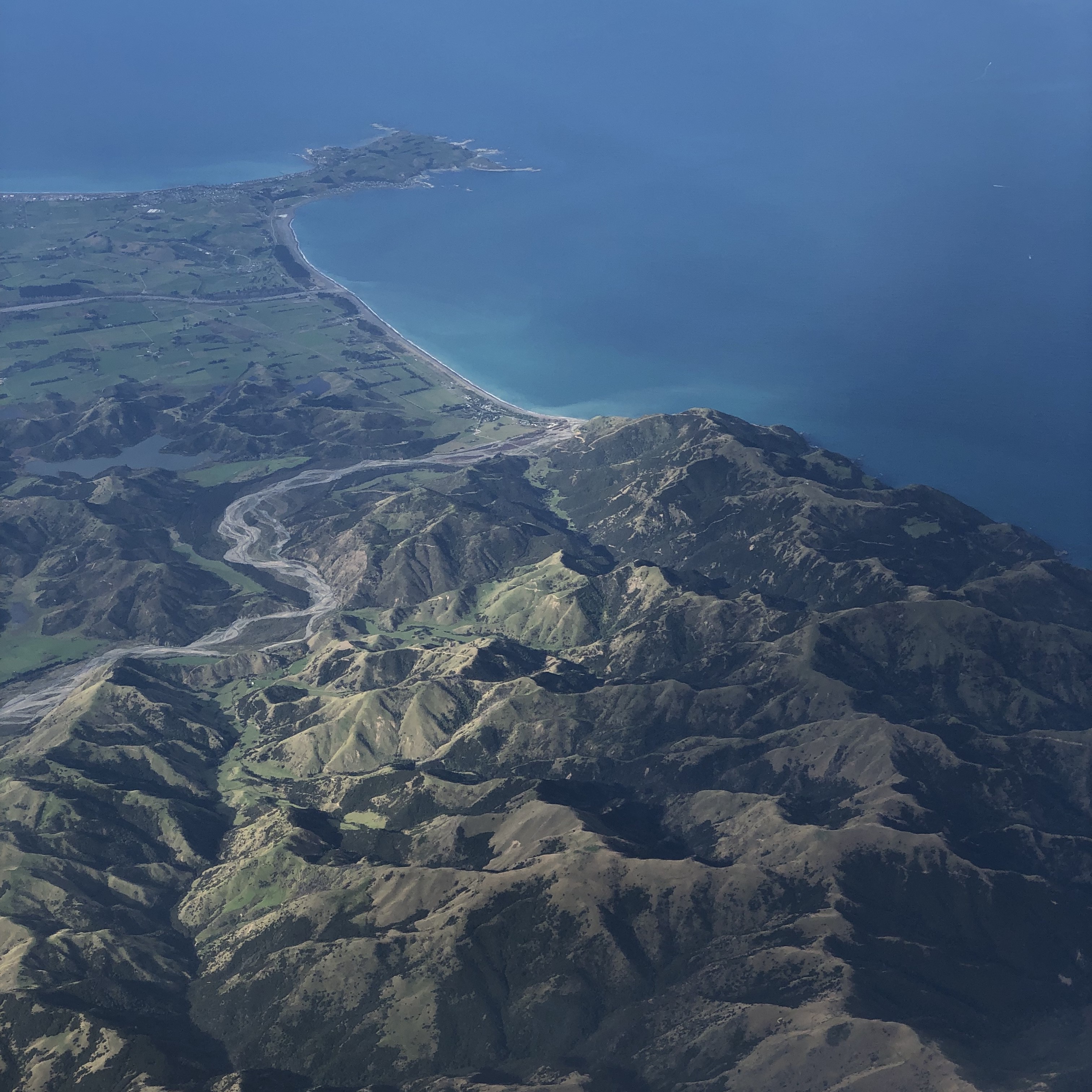
Kaikōura
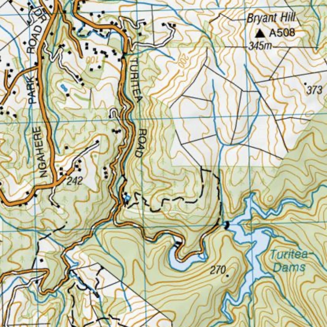
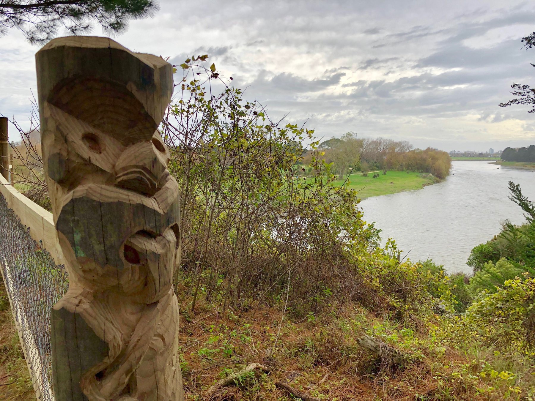
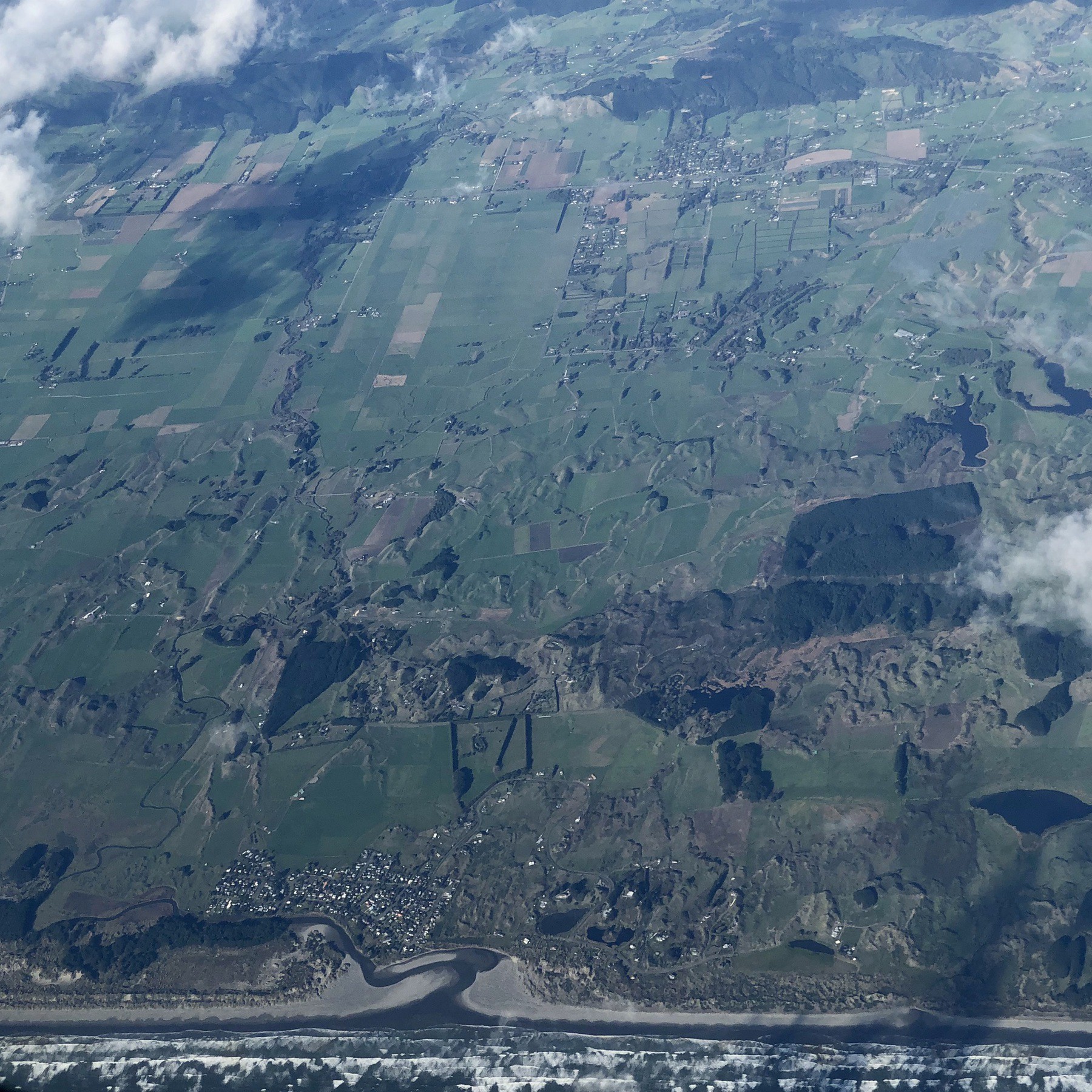
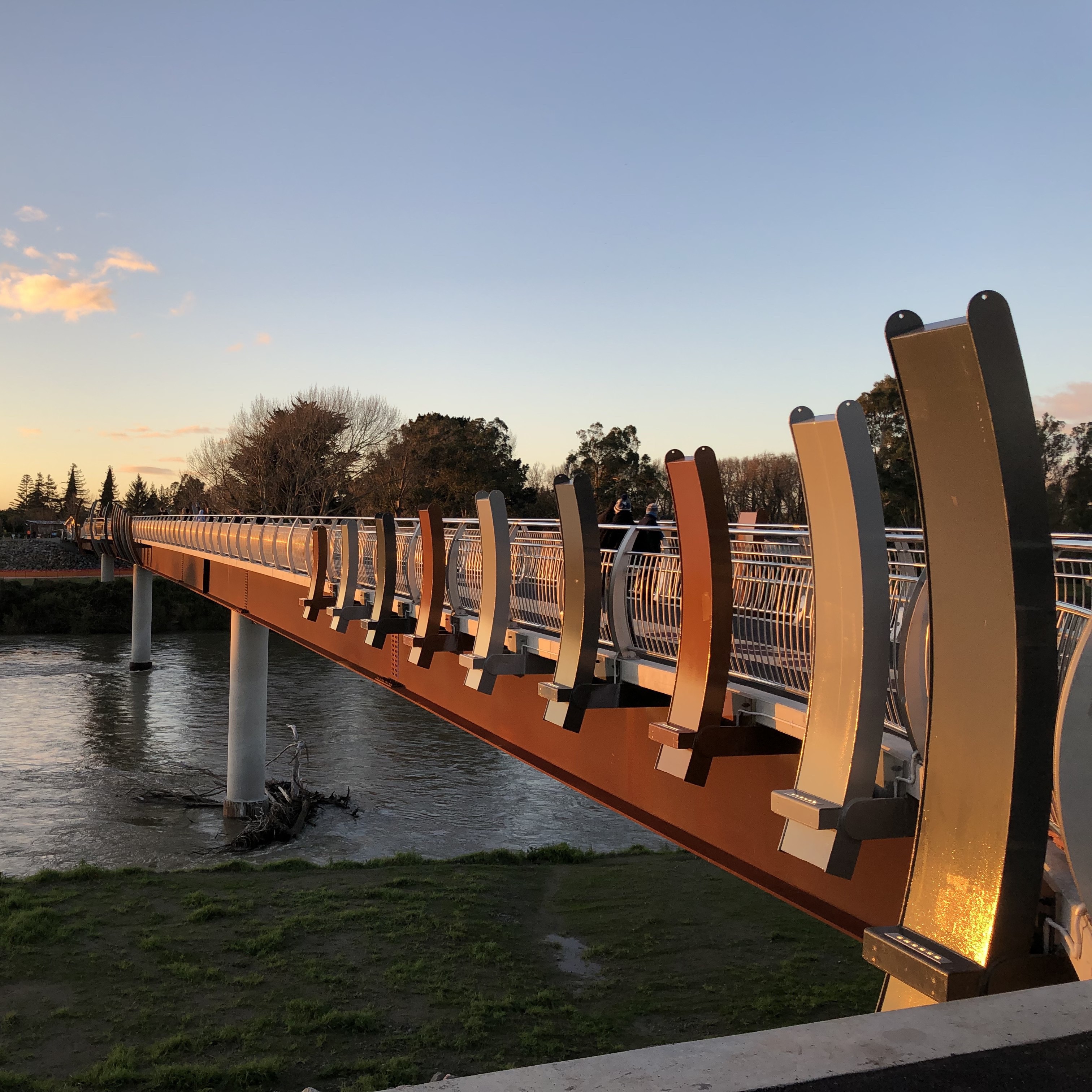
Ashhurst
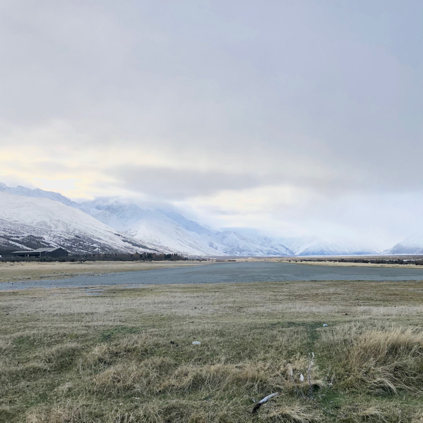
Glentanner Airport
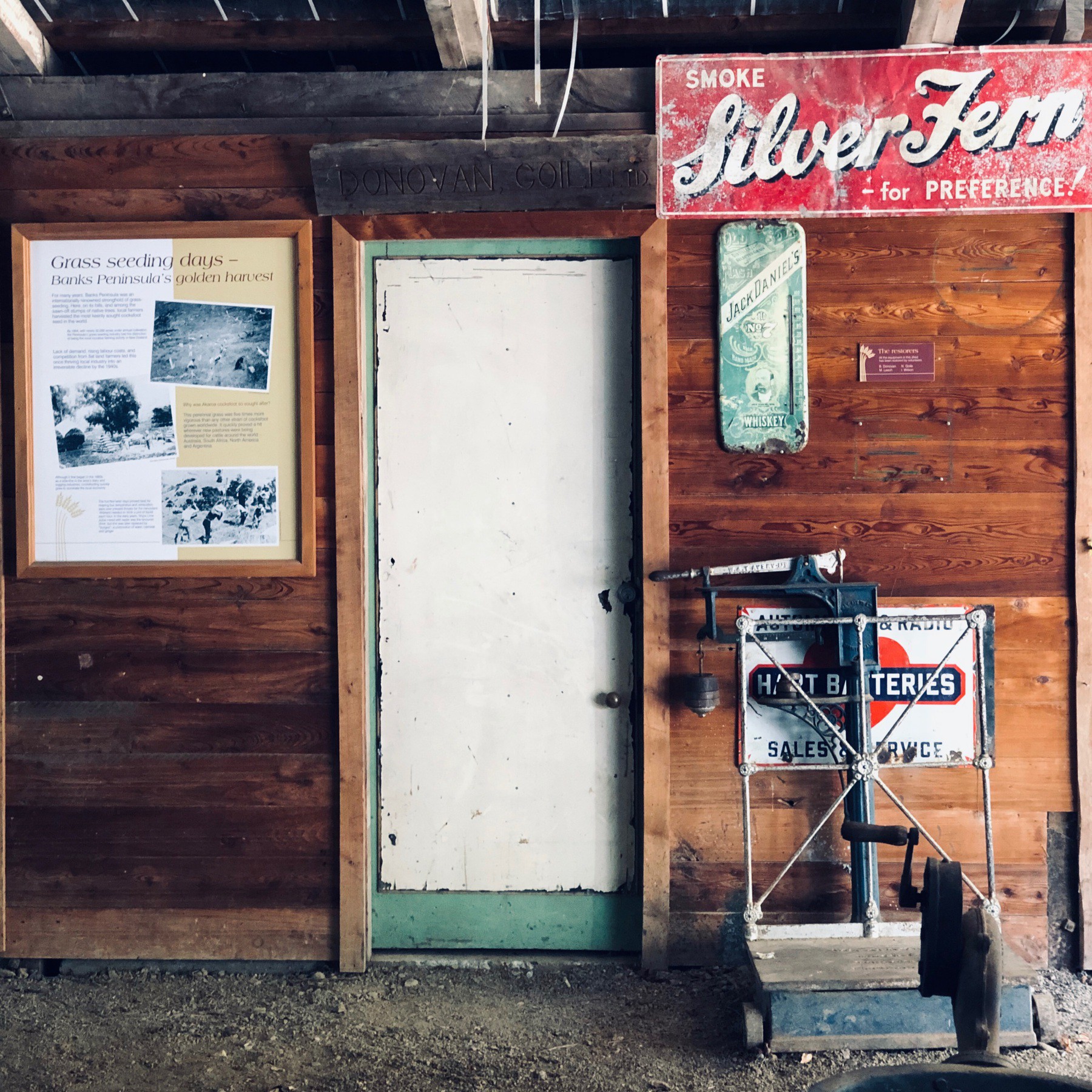
An old shed — Orton Bradley Park
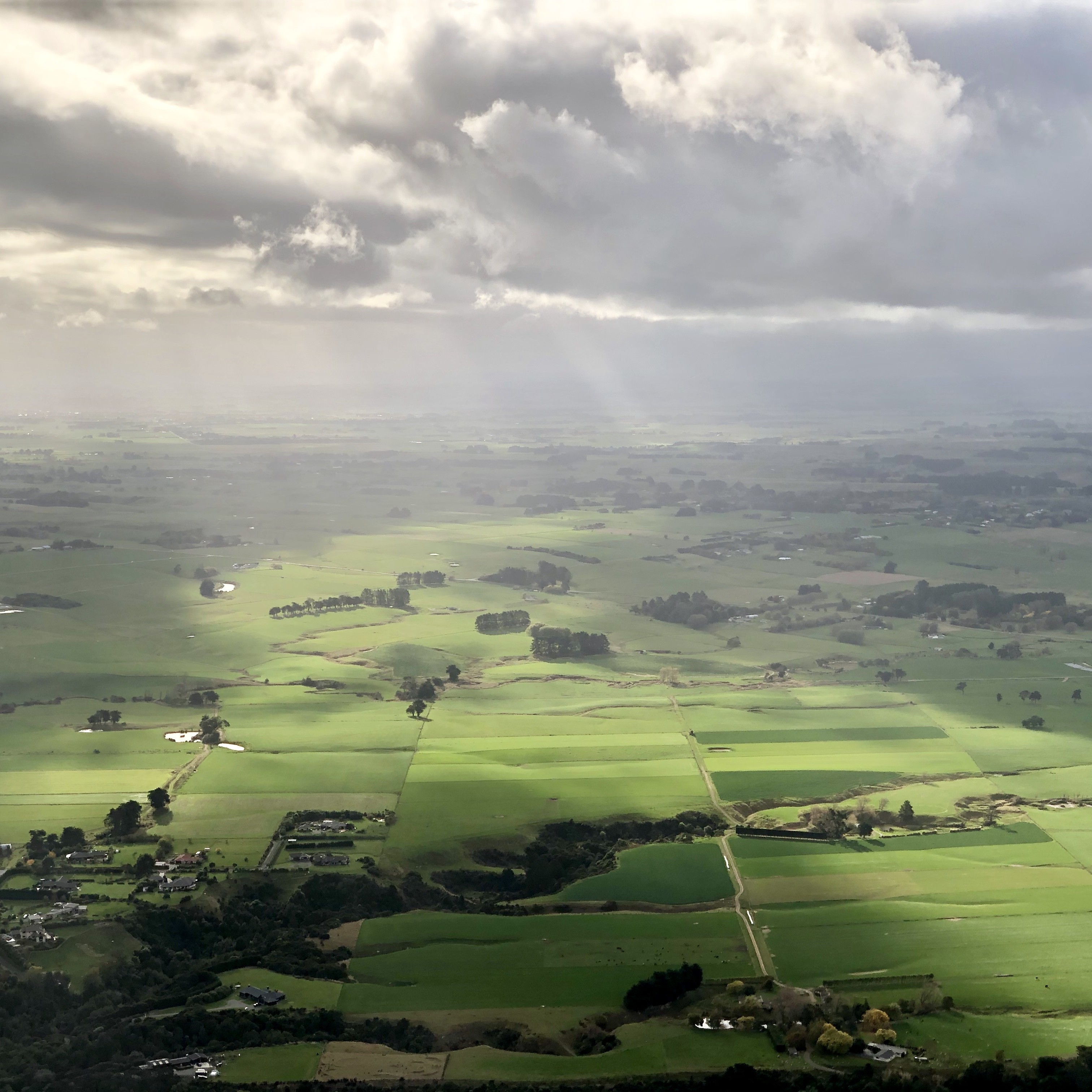
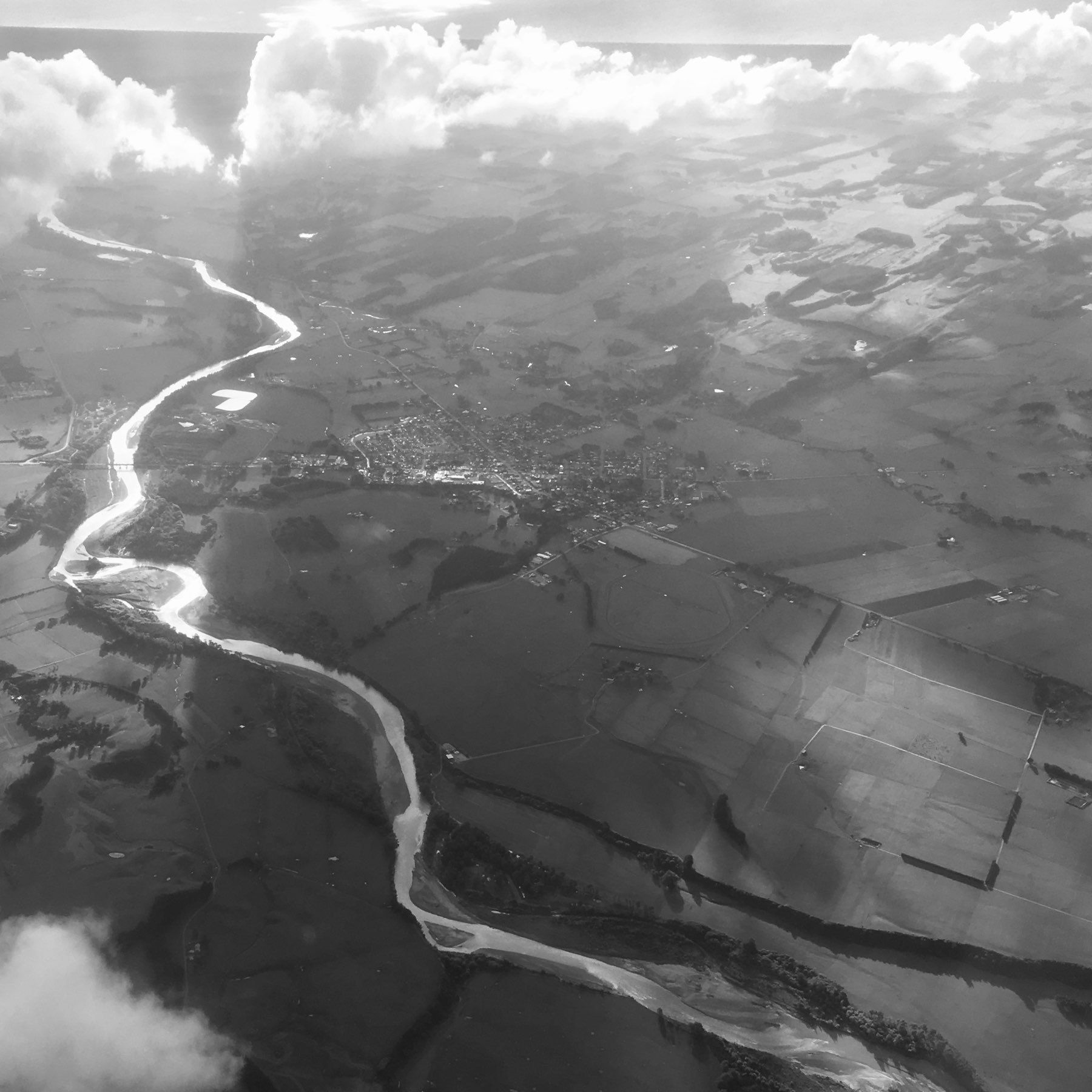
From 5000m.
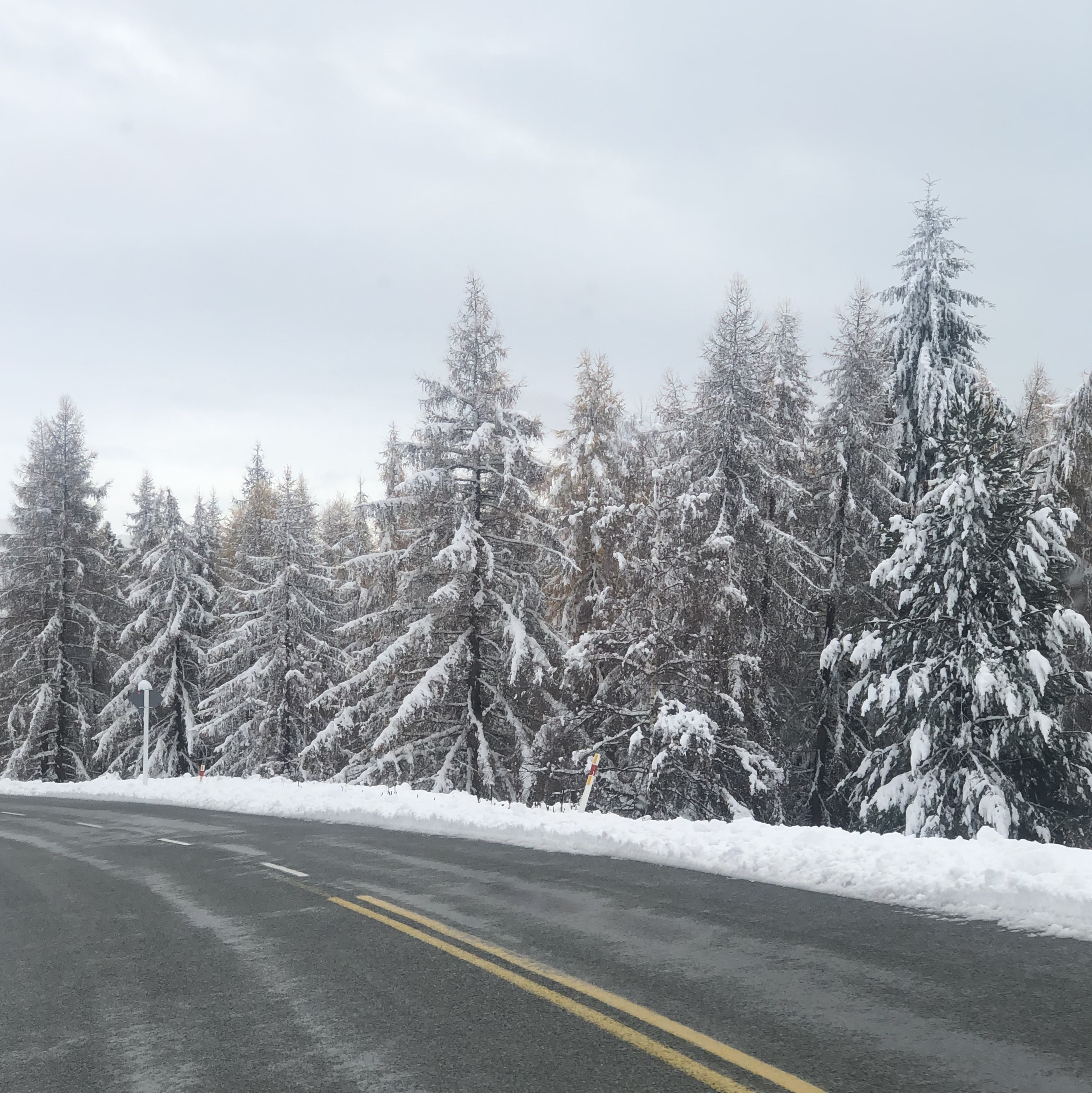
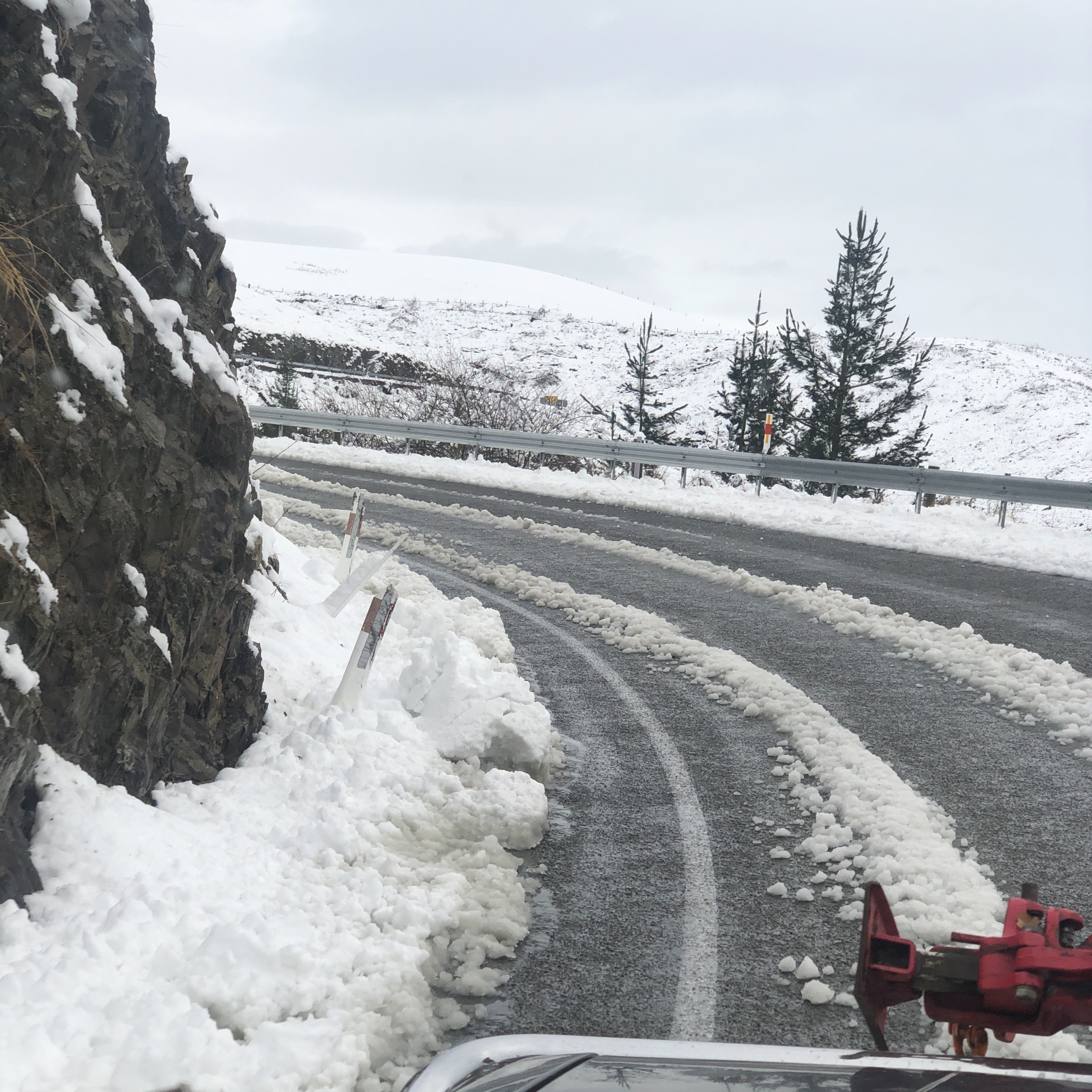
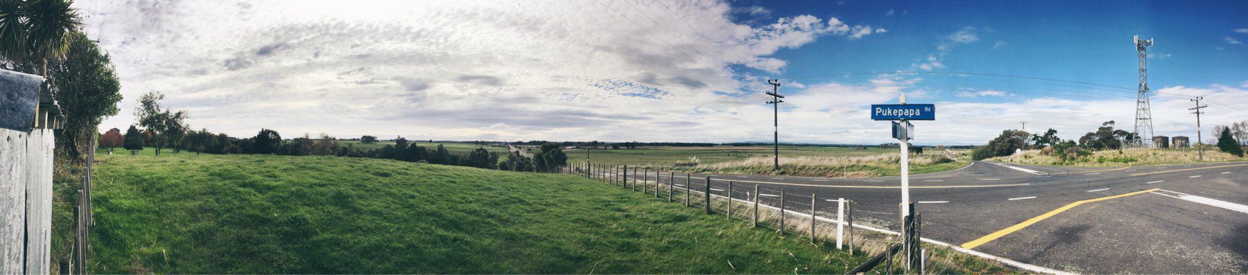
Craigieburn Road
![mp-photo-alt[]=](https://cdn.uploads.micro.blog/7963/2019/1567c9440d.jpg)
Looking East @ 5:30pm
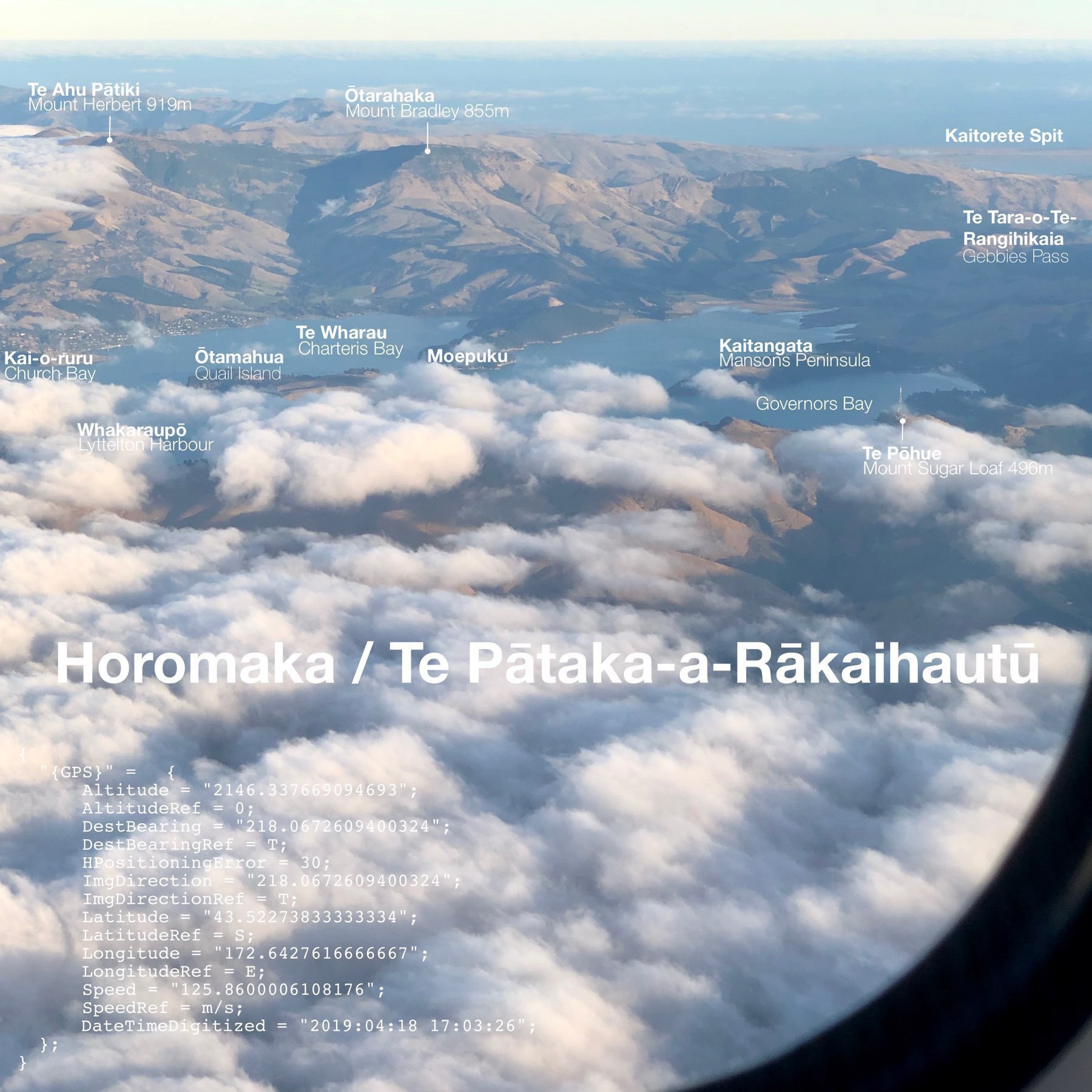
Te Pātaka-a-Rākaihautū — Banks Peninsula
UNIversal-MOtor-Gerät
![mp-photo-alt[]=](https://cdn.uploads.micro.blog/7963/2019/7406153b9a.jpg)
Himatangi — 1 hour from sunset.
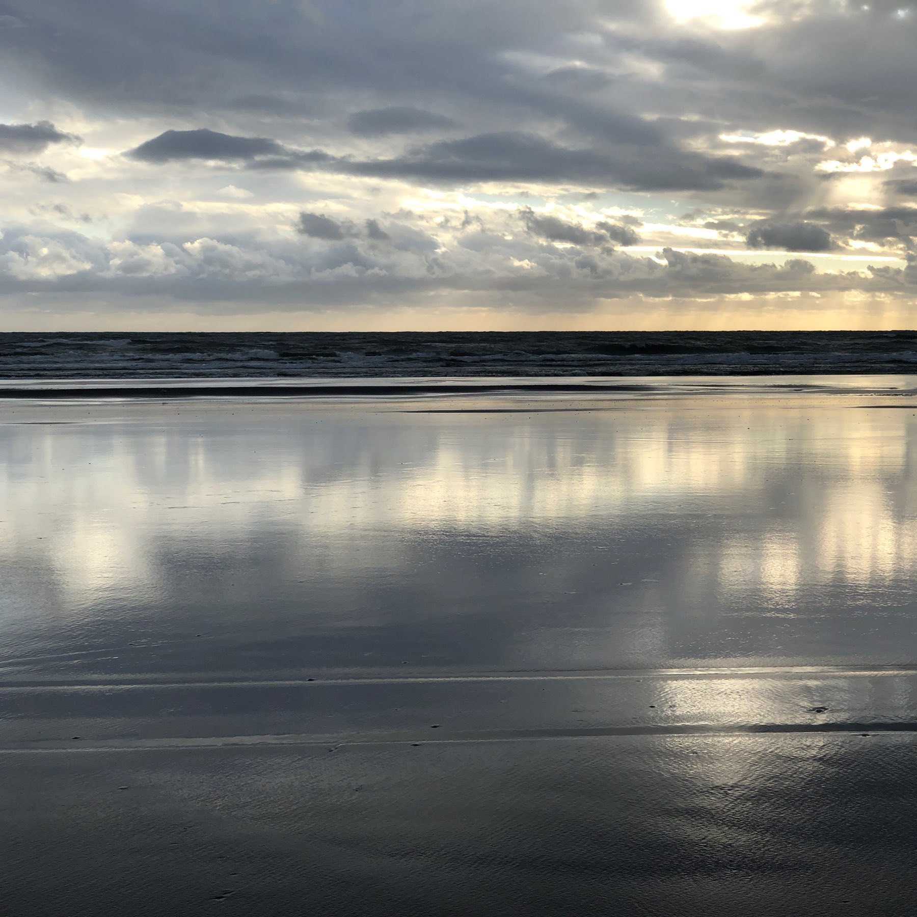
Himatangi Beach last night.
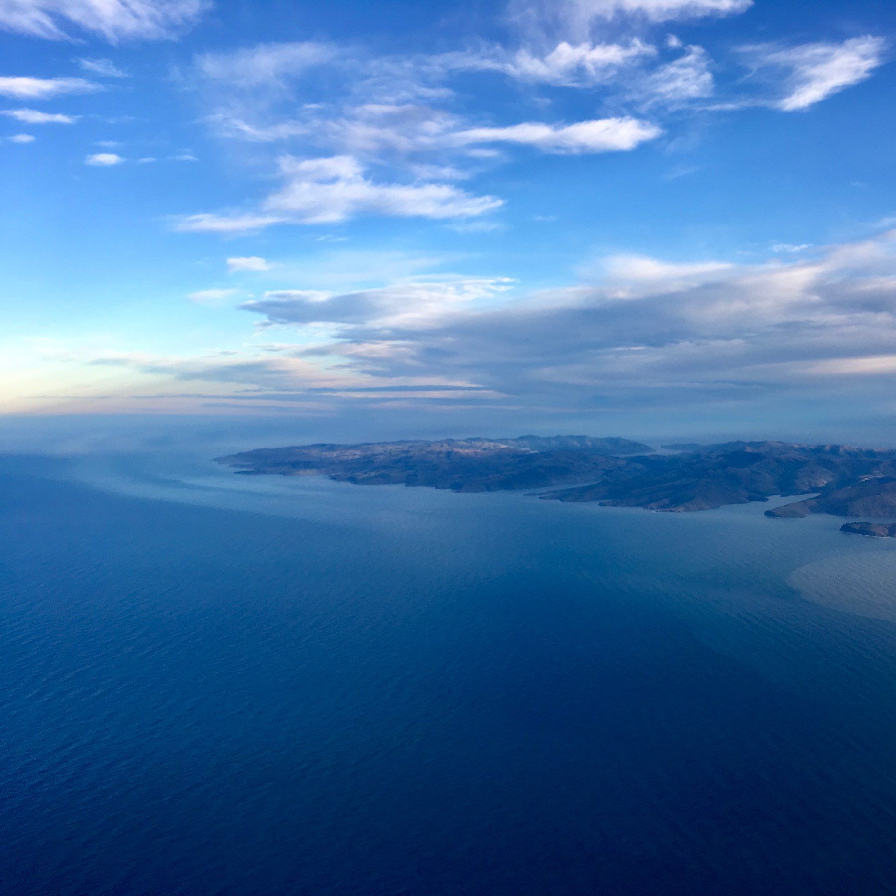
Travelling to or from Lake Tekapo.
Unwinding in the dark with Mogwai –Young Team + Apple TV 4K screensavers.
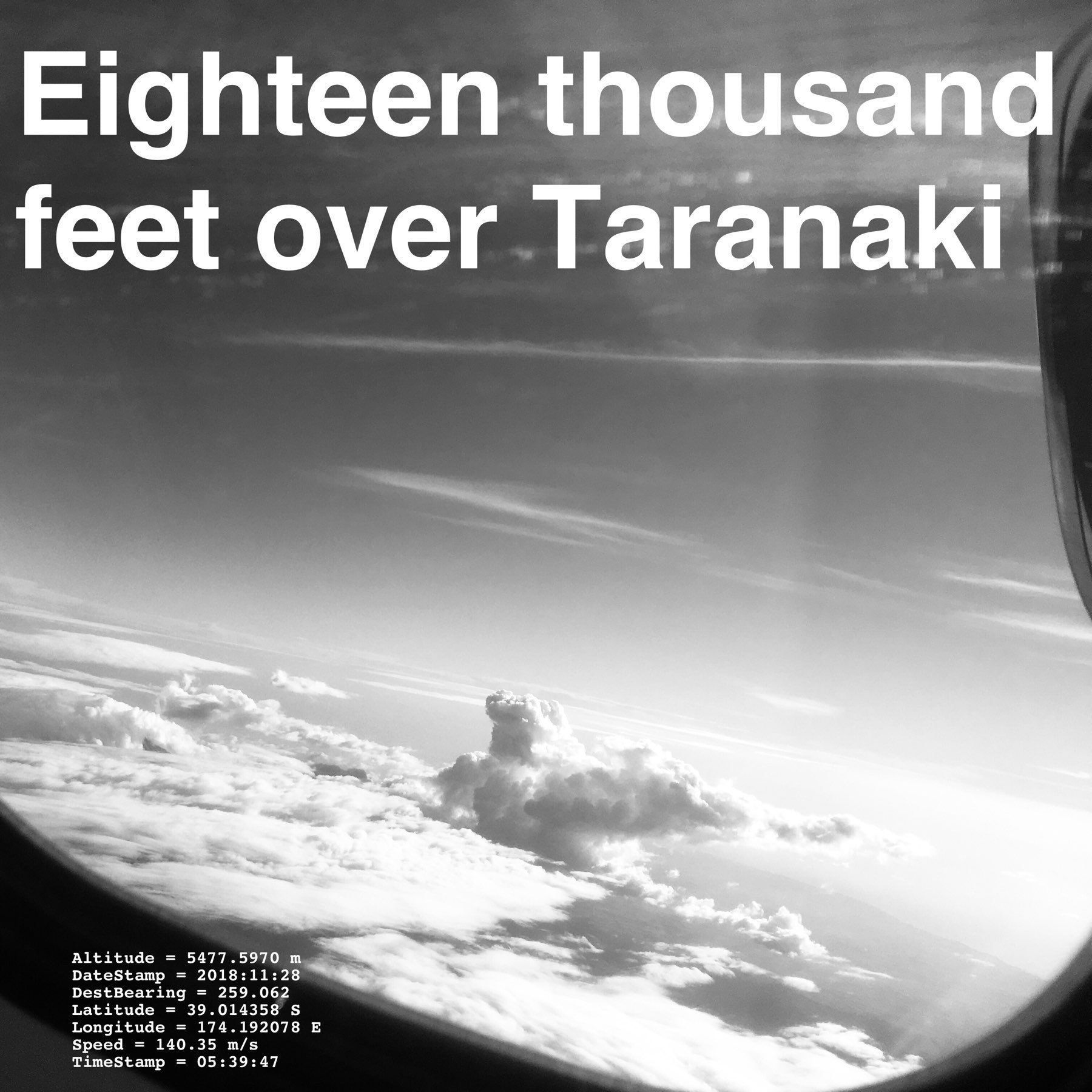
{ “{GPS}” = { Altitude = “5477.5970 m”; DateStamp = “2018:11:28”; DestBearing = “259.062”; Latitude = “39.014358 S”; Longitude =“174.192078 E”; Speed = “140.35 m/s”; TimeStamp = “05:39:47”; }; }
May every year be full of fish, and may there be enough fish for all.
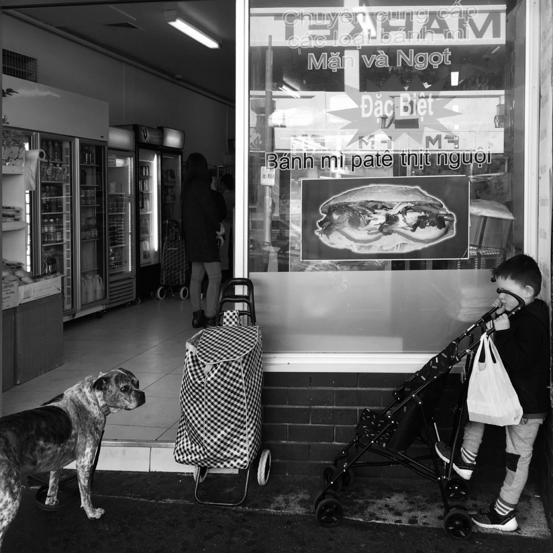
Coffee and Vietnamese food is a great combination.
I do not understand the desire for a dark UI in a well lit environment. Even with matte screens, everything is more susceptible to distracting reflections if the screen is dark.
Just realised that the iPhone SE currently omits the carrier name up in the status bar beside the signal strength. I like this.
The Duck Duck Go search result pages look crisp these days.
As it happens, I was recently appreciating the Open Street Maps implementation in the results.
Quite surpried to see that it is now Apple Maps.
Bearing: 73°. Temperature: 25°C.
Wishing iOS on the iPad would render iPhone only apps as pop over applications (from the left or right). Rather than full screen portrait applications.
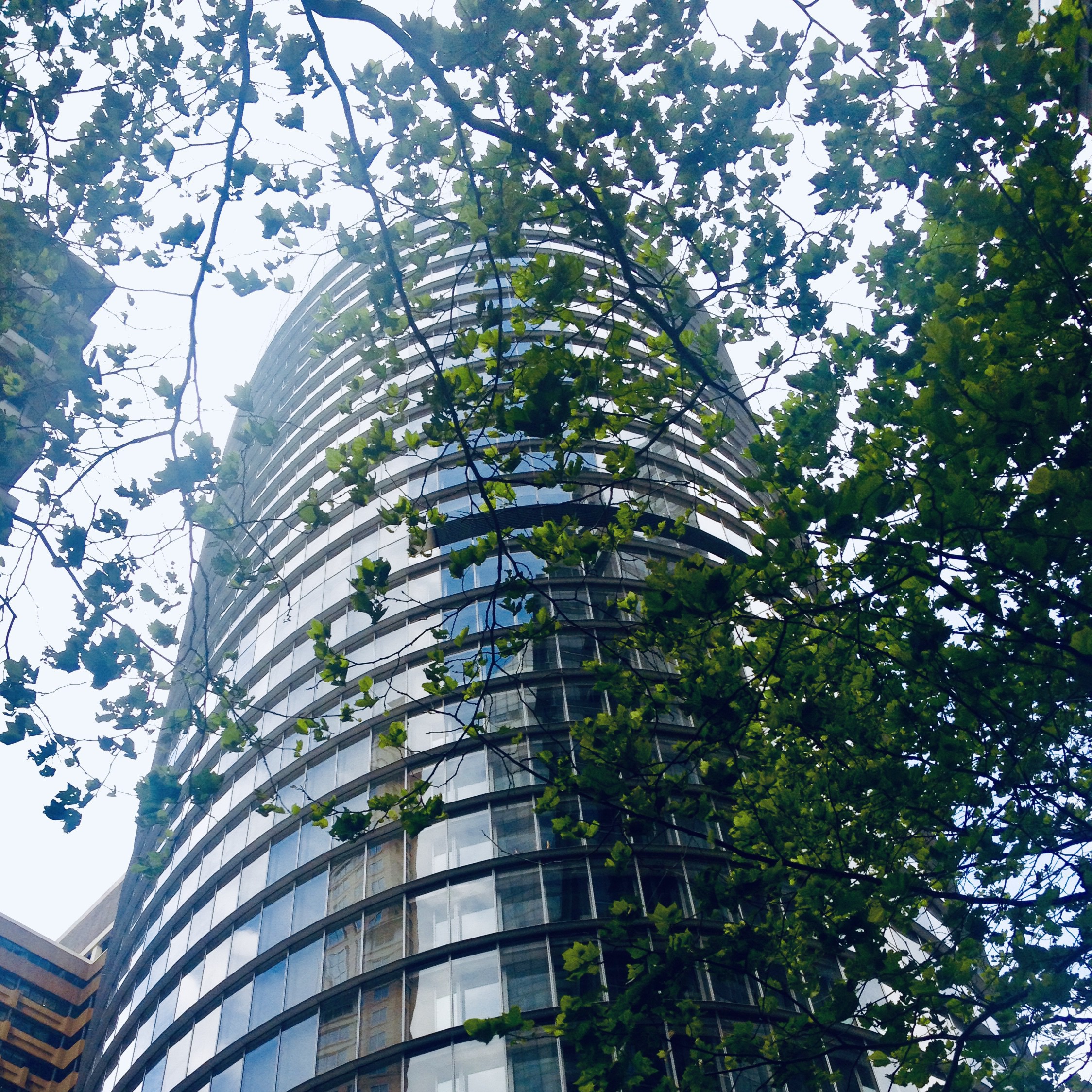
1 Bligh — Sydney
![mp-photo-alt[]=](https://cdn.uploads.micro.blog/7963/2019/f919527cb5.jpg)